
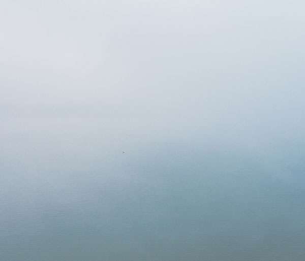
Photograph © Prasiit Sthapit
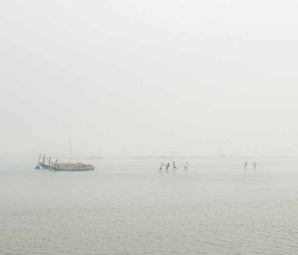
Photograph © Prasiit Sthapit
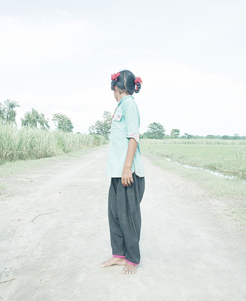
Photograph © Prasiit Sthapit
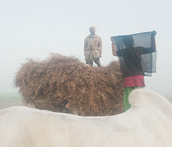
Photograph © Prasiit Sthapit
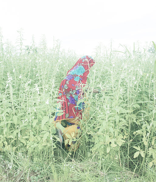
Photograph © Prasiit Sthapit
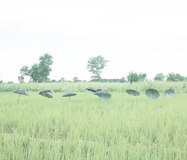
Photograph © Prasiit Sthapit
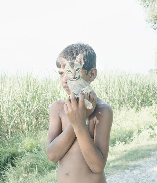
Photograph © Prasiit Sthapit
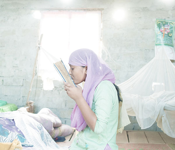
Photograph © Prasiit Sthapit
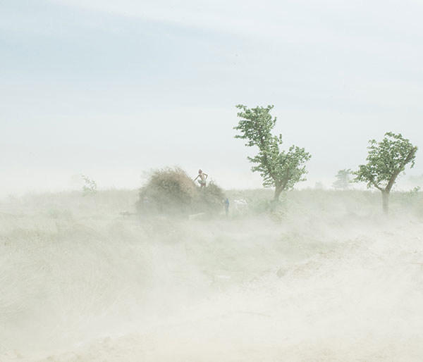
Photograph © Prasiit Sthapit
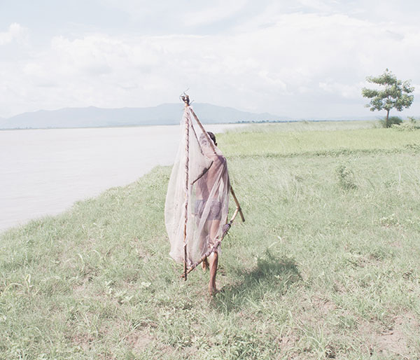
Photograph © Prasiit Sthapit
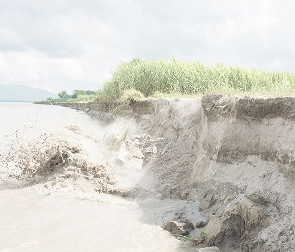
Photograph © Prasiit Sthapit
The first time I arrived in Susta, I had to walk for around three minutes from the riverbank and across a sandbar to get to the village. There were two small huts there, selling tea and fish. About a year later, when I arrived again in Susta, there were no huts. When I asked a local woman, she said, "Somewhere there," pointing towards the river.
The settlement of Susta was once perched firmly on the west bank of the Narayani River, long considered the border between Nepal and India. But the river has changed course, cutting persistently into Nepali territory. Susta today finds itself on the east bank of the Narayani. India maintains that the new course of the river is the international boundary while Nepal disagrees. Susta, thus, remains contested - claimed by Nepal, hemmed in on three sides by India and on the other by the Narayani.
I've been visiting Susta for five years, and every single year, I've heard of a couple of hundred hectares being eroded by the river. Every year, someone or the other loses their farmland, their livelihood. Nothing, it seemed, could stop the mighty river. Ram Pyare Kurmi told me two years ago that if nothing was done, the water would eat up the village in three or four years. This year, however, there were no reports of erosion. Retaining walls had been put up along the banks before the onset of the monsoon in preparation for a bridge. All of 1,725 metres long. Five feet wide. Suspension.
Good signs, however, are few when it comes to Susta's volatile politics; not much has changed on that front. Official records have the total area of the village at 40,980 hectares, of which 7,000 is in Nepal, 14,000 hectares in India, and 19,980 hectares declared disputed territory, where neither country can build or farm. But these records ignore the thousands of hectares lost to erosion in recent years.
In spite of persisting problems, locals are hopeful. There are presently no advancements from the Indian side, and things are relatively peaceful. Once the bridge is up, there will be no more waiting for hours on the bank for a boat. There will be no more risking lives every day during the monsoons making the crossing. Kurmi's son - who has been repeating the fifth grade for three years now because the school in Susta doesn't offer any higher classes - will finally be able to move on to the sixth grade across the river. And maybe even electrical lines will come along and bring with them the marvels of sound and light. Locals believe Susta is in for a "complete infrastructural makeover." I, however, am inclined to be a little more skeptical: if there's anything Susta's history has shown us, it's that hope is best leavened by caution, but hope is necessary and in the case of Susta even powerful.
20 November